It was time to check that one off the list. Kelsey and I drove from Phoenix, through Globe, past Roosevelt Lake and onto Cherry Creek Rd. We decided to camp near the trailhead. Not a bad spot to be despite the downpour of rain!
No, this pic isn't edited. It was that green and vibrant.

 The old Corral was a good campsite.

 Time to get out of bed and make some breakfast!
 Bacon, Coffee, Eggs, and Green Hatch Chiles. These are the perfect fuels for hiking. :-)
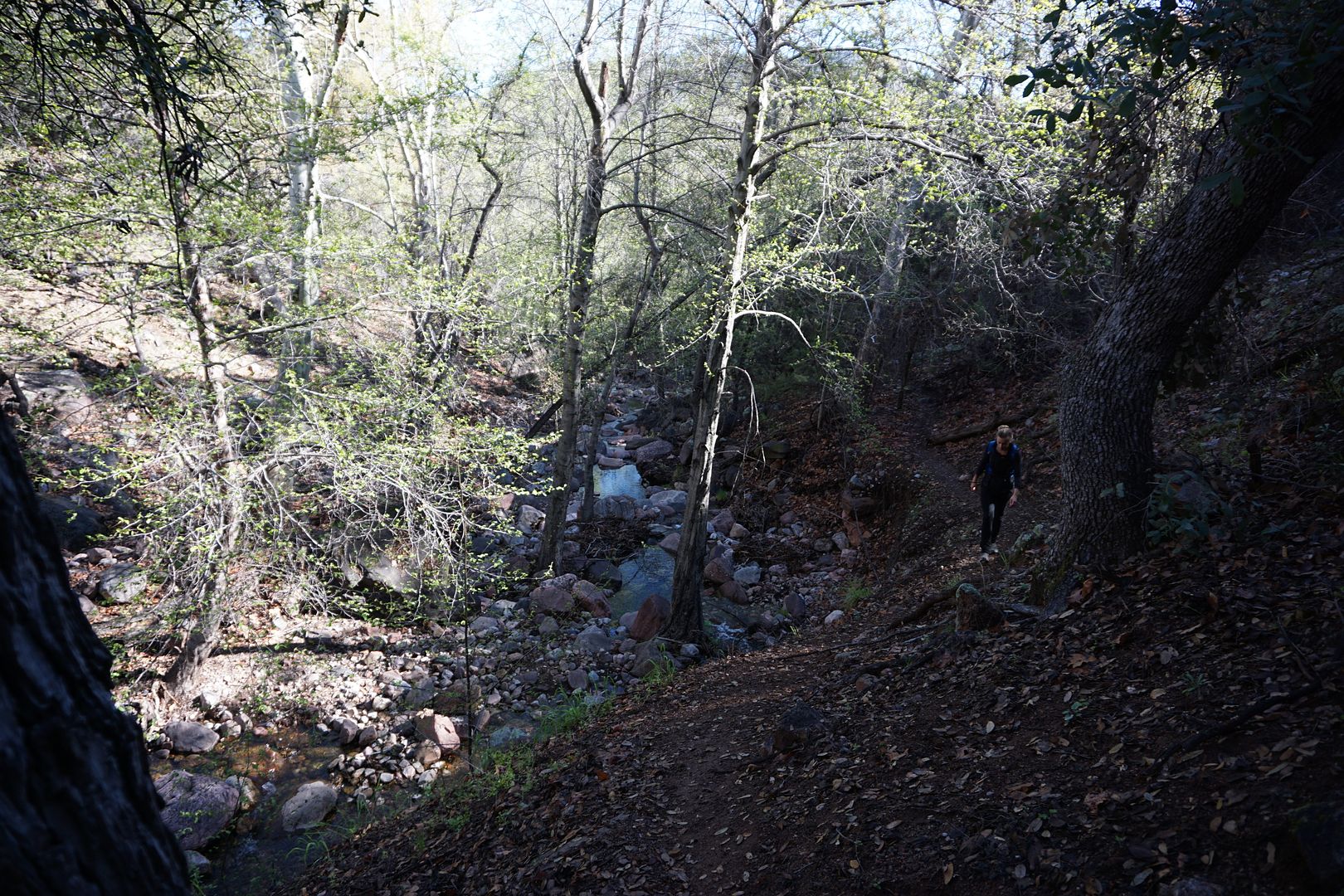
 Okay, as much as I'd like to just eat food and sit on my fat ass, it's time to get hiking. UP THERE. We'd end up hiking about 3,000 Feet of Elevation gain in just 2.2 miles. That's fairly epic by my standards. It was awesome.

 Of course this area looks much different than the Arizona most think of, but it's even shocking to me when I remember I'm only a couple hours from my office.
 As we ascended the views and geography changed constantly. It was like 4 hikes in one.

 Between the rock spires and the inverted cliffs above it seemed like the normal laws of nature didn't entirely apply here.
 The "plug" as it's called for obvious reasons. It's hard to get the scale from photos, but this rock was somewhere around 30 to 40 feet tall. The only way up was underneath the small rock on the far right side. There was an opening just big enough for a person wearing a small backpack. Hikers with actual backpacking packs had to tie ropes to their bags and pull them up once they climbed through.
 The prettier half of the team climbing up.

 Looking at the walls is just staggering.
 This creek appears to run year round from what I've seen, but after the recent rain everything was slick. These ropes were sketchy at best, but without them these wet rock climbs would have been pretty stupid.
 After a lot more pretty views and almost loosing the faint trail several times, you are close. Lots of slipping and sliding in the mud later.
 So close that you may not even notice it if you didn't know what to look for.
 After what feels like MUCH more than a paltry 2.2 miles you made it. The front door, as it were.

 You can see the remnants of the different levels above.
 The holes on the right were where logs where actually built around. The timber would support the second story flooring. Most of this had long since burnt.
 Some remnants of the wood was still there. This is how they dated the structures. The tree rings indicated when and what time of year the wood was cut to be used for construction. This area is all from 1280 to the mid 1300's.

 Besides Native Americans at the time being shorter in stature I assume the reason for the small door ways was strength. The larger the opening the more likely it was to eventually collapse.
 Most any and all artifacts, of which there were once many, have been removed by earlier Archaeologists for preservation in the 1930's. This grinding stone was still there. It was so smooth you could picture the many long hours of use it got.

 The door on the far side of the dwelling led out to a small shelf. I wonder if that's where they threw any trash or waste? Who knows, but it was also one hell of a master bedroom view.
 Here's said view.
 Looking back to the dwelling.
 Wood reinforcement over the doorways and other openings.
 Looking down on the dwellings from an overhanging cliff.
 This one room had some of the roof bracing intact.


 The outer wall follows the natural cliff face almost to the millimeter. No room for any mistakes here.
 After a beer (yes, it's worth it to carry a heavy beer all the way up there) and a sandwich we headed down. When you're not looking for Indian Ruins or gasping for breath it's easier to take in the sites.


 Was that the end. No way.
Time to explore some side trails in the Cruiser, whatever condition they may be in.
Was that the end. No way.
Time to explore some side trails in the Cruiser, whatever condition they may be in.
 We did eventually run into Bob the Bull. He was oddly aggressive for any cow I've seen in the last couple years. I thought he might charge Goose for minute there.
 Driving along, picking bad lines to make the photos look "cooler."
 After some exploring we got down to another camp spot along Cherry Creek for the second night.
Okay, I'll hang out here.
After some exploring we got down to another camp spot along Cherry Creek for the second night.
Okay, I'll hang out here.
 So we did.


 Quite an old tire. Hmmm, I'm trying to picture what besides mining equipment would run this tire. Sort of like a foreign market Michelin XZL in some ways. Massive.

 I sometimes get questions about my homemade gas can trash can so here you go. 1. Find a worthless rusted out jerry can. 2. Cut off top. 3. Put hinge and compression lock on it. 4. Profit in trash.
The Basura Box:
I sometimes get questions about my homemade gas can trash can so here you go. 1. Find a worthless rusted out jerry can. 2. Cut off top. 3. Put hinge and compression lock on it. 4. Profit in trash.
The Basura Box:

 Any night camping is a good one. This one was no different.
On the way home we decided to take the long way. I always do that on the way home if I can.
We stopped at an overlook of Roosevelt Lake
Any night camping is a good one. This one was no different.
On the way home we decided to take the long way. I always do that on the way home if I can.
We stopped at an overlook of Roosevelt Lake

 Then we took the Apache Trail along Apache Lake, Canyon Lake and back to Phoenix. It did not suck.


 Well, you've done it again. You've wasted another hour of perfectly good and useful time looking at my trip pictures. ;-)


