View Border Exploring in a larger map
Well, an odd occurrence, but I didn't have a fully functioning camera for once. The Canon is dead and we seem to have mis-placed the battery charger for the Olympus so I had to make due with what little battery was left. (I'm hinting that there are much less pictures then normal)
The first night we left Phoenix after work and headed down towards Mt. Lemmon which sits just north of Tucson.
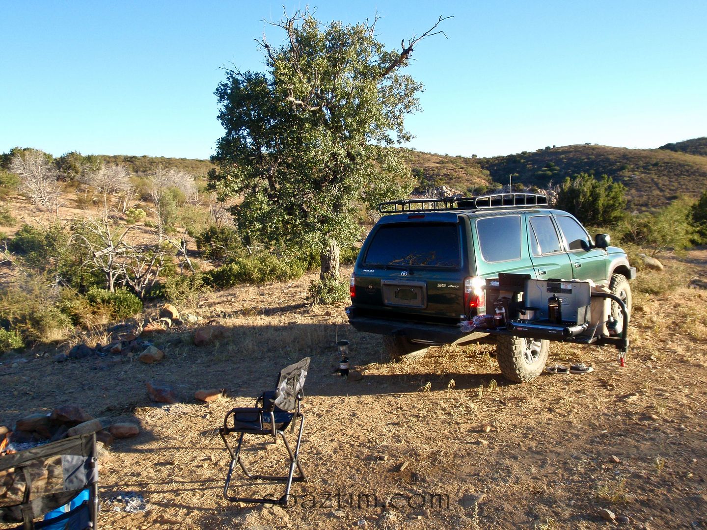
We headed up the dirt back road and found a side trail to camp on. Not a bad spot!
The next morning we headed up the rest of the back way and had breakfast in Summerhaven at the "Iron Door." Great little place just across from the "Ski Resort" and I use that term loosely. Did you know that Mt. Lemmon ski resort is the southern most ski resort in the US? If it opens it has two whole lifts. :-)
We headed down the paved front road and through Tucson, stopping off at my buddy Brent's to pick up a spare tire he found for me. He couldn't join us this time, so we headed south through Sonoita which is Arizona's wine country. Yes, you read that right. It seems odd every time I say it. At the end of the highway is Parker Canyon Lake. It's a beautiful lake. The terrain down here looks nothing like the rest of Arizona. I can only liken it to South African grasslands, without the lions, elephants and giraffes OH MY!
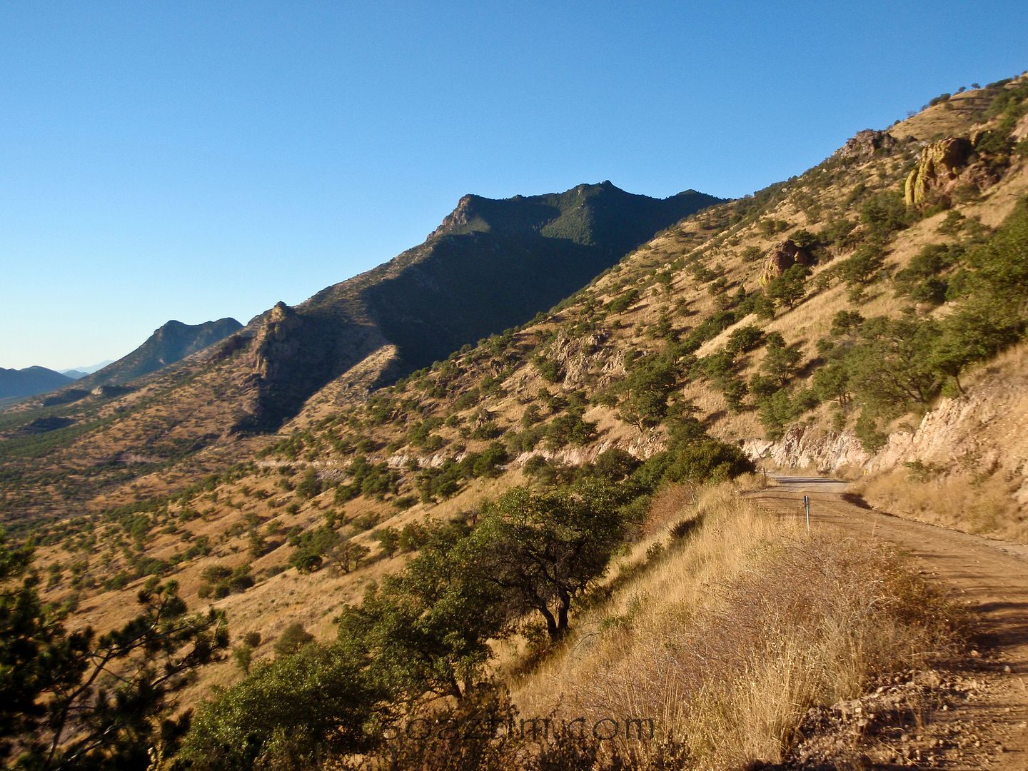
We headed down the dirt road towards the pass on the Coronado Trail.
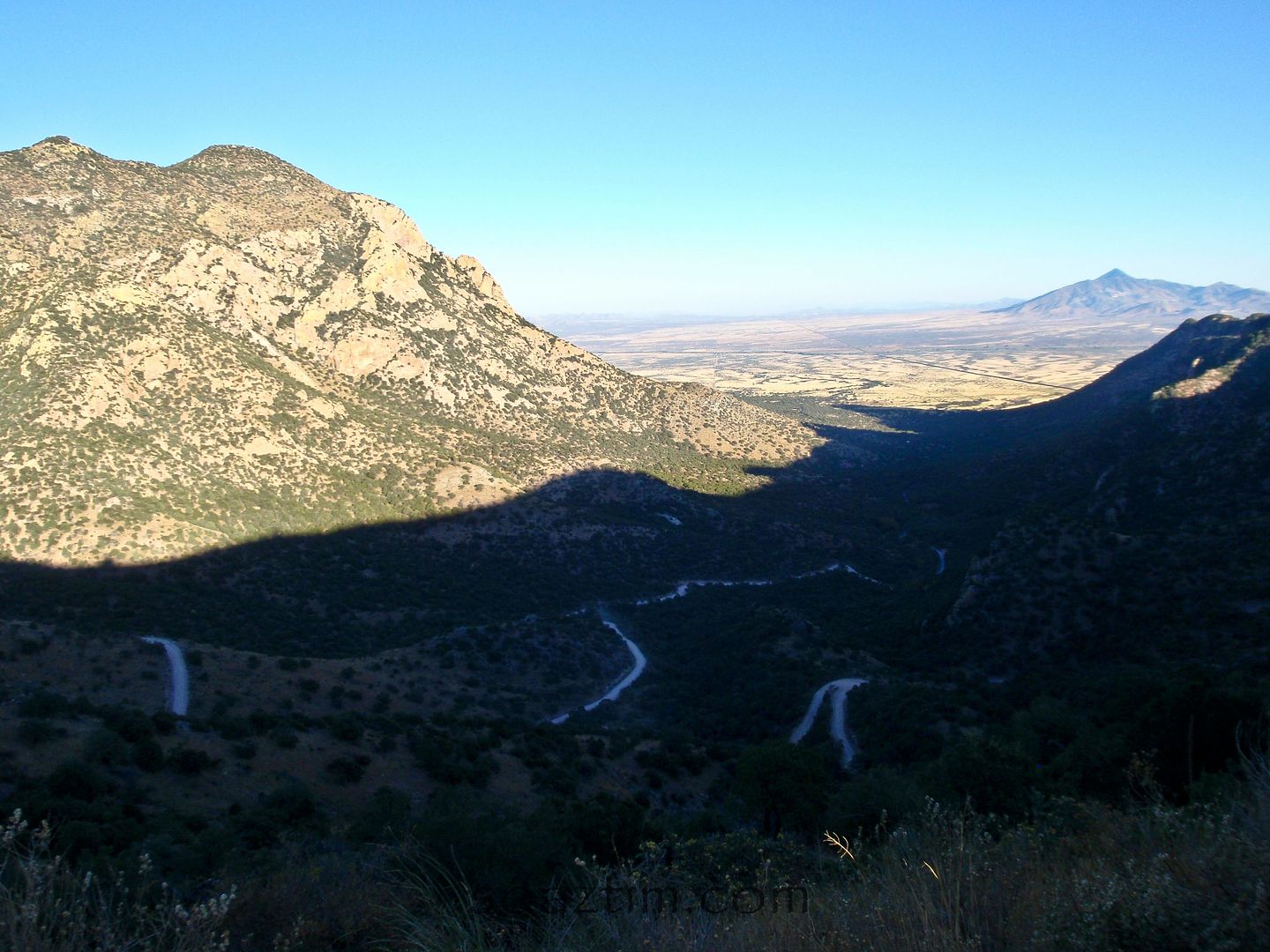
It was just us and a Border Patrol truck up here. My guess is that they use it for a look out point. Everything more than a couple miles south of this point is Mexico.
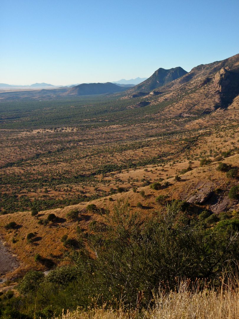
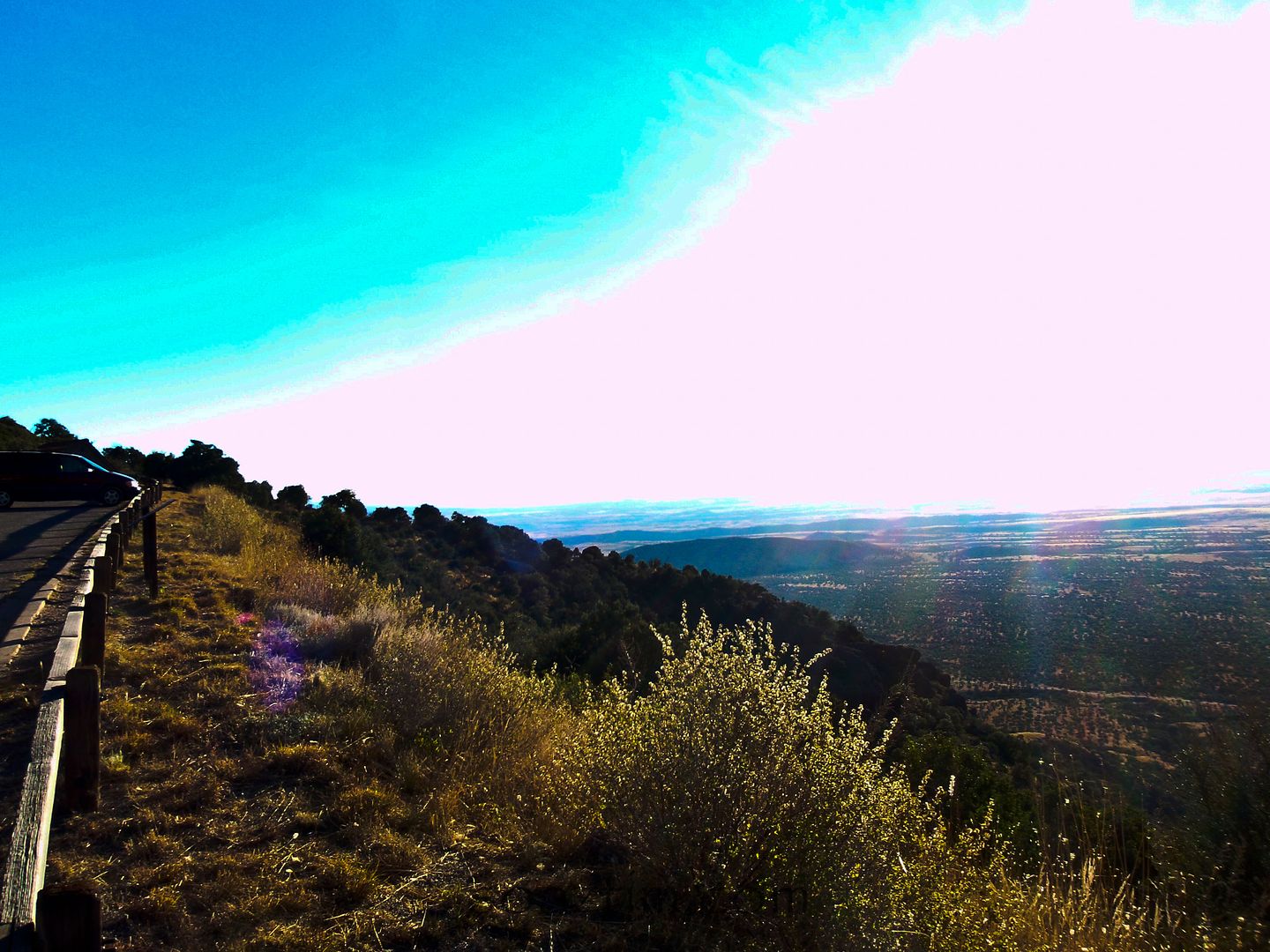
Looking out at Mexico... and the sun!
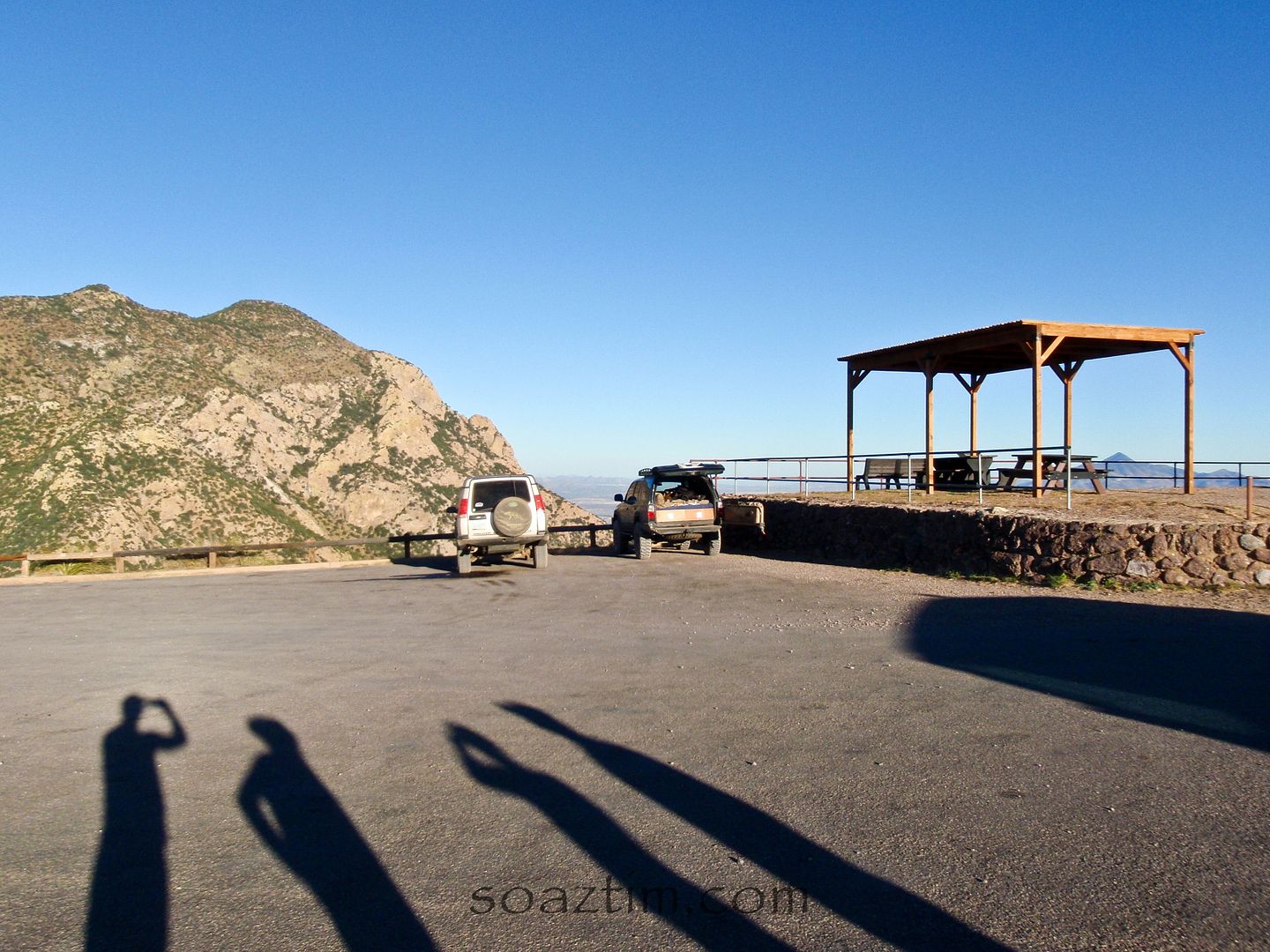
A paved parking lot atop a dirt road!
Welcome to AZ. Don't forget your papers.
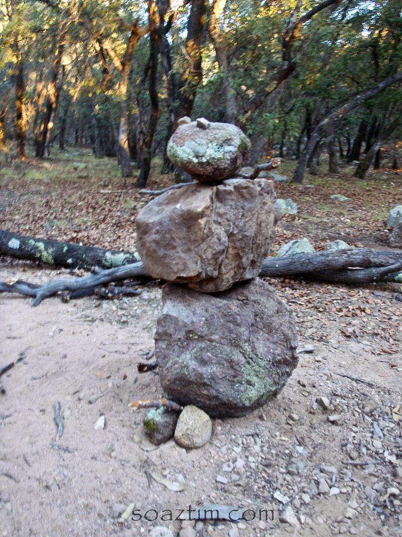
We decided to start looking for a place to camp for the night. We went up a canyon into the range above and came across a nice campsite. This "excited" little fella was there to great us. People in desert still have the need to make snowmen, even if it's out of rock.
When we saw a bunch of ears of corn in the fire pit, enough toilet paper wads for 60 people to "go", and water bottles all over that per the labels were bought in Mexico we realized this was a bit of a drop point. Don't get me wrong, I've run into people migrating while out exploring the desert and they were some of the nicest people I've ever met, but we didn't think camping at a meeting spot was smart. There are bad people that use these migration trails too. Plus, in these thick tree the "eye in the sky" couldn't see us or anyone else.
Had to use the rough road to pose. Poser!
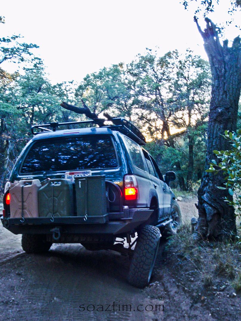
Stuffing. Mmm.
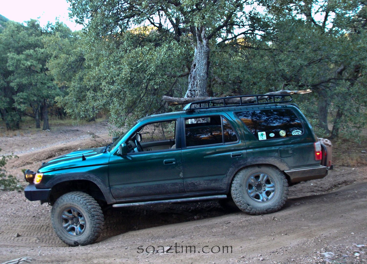
So we headed back down to the main road and looked for another side road to camp on.
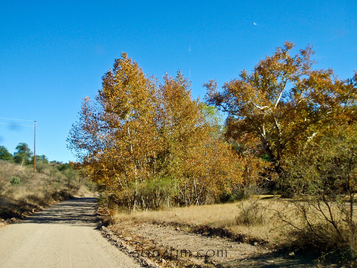
We finally found a good spot after passing 10 or so Border Patrol trucks.
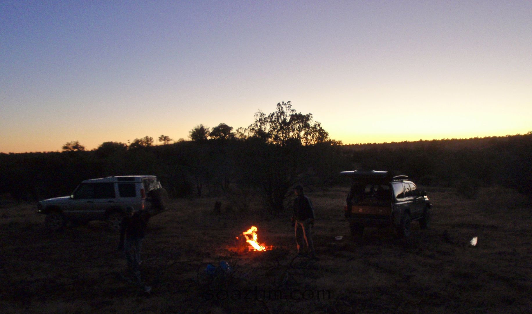
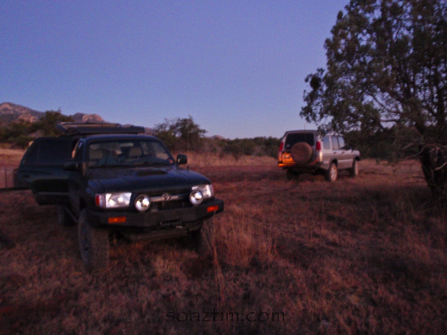
Both nights were a little chilly, but not as bad as we thought it would be. No ice on the truck either night.
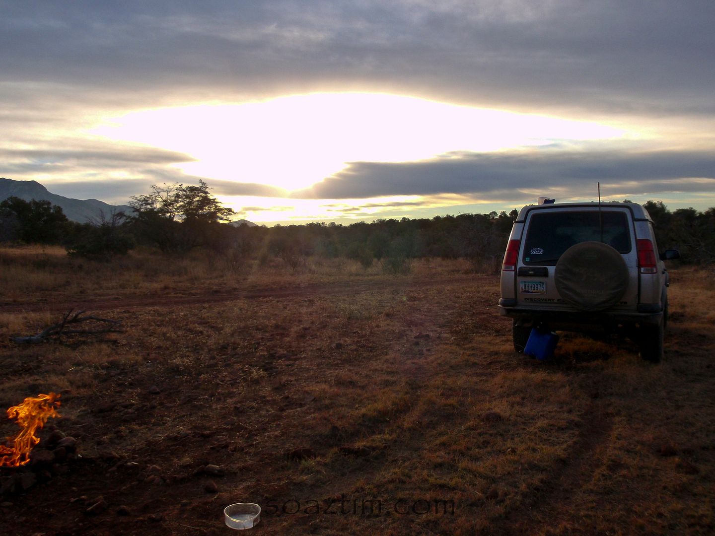
I have to admit I slept a little light. Our friends dogs would hear something and run 50 yards into the bush at something for 10 minutes or so and then stop. Then a while later again and again. It was making me a bit nervous. This area see's a seizure of drugs weekly and our trucks and camp fire were like a beacon in the valley.
So after a night of "light" sleep we woke up to a hell of a sun rise. This area of Arizona is so beautiful.
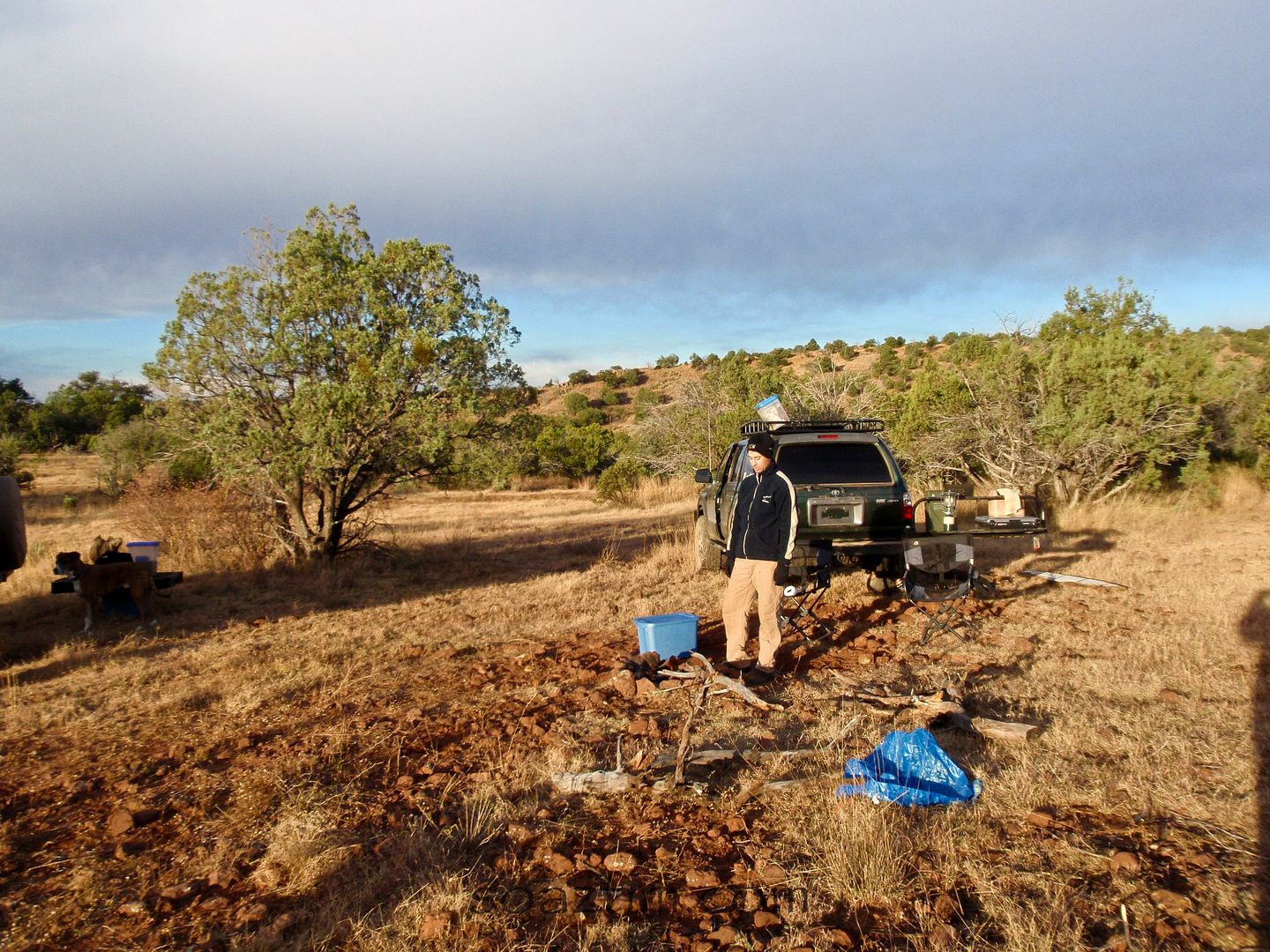
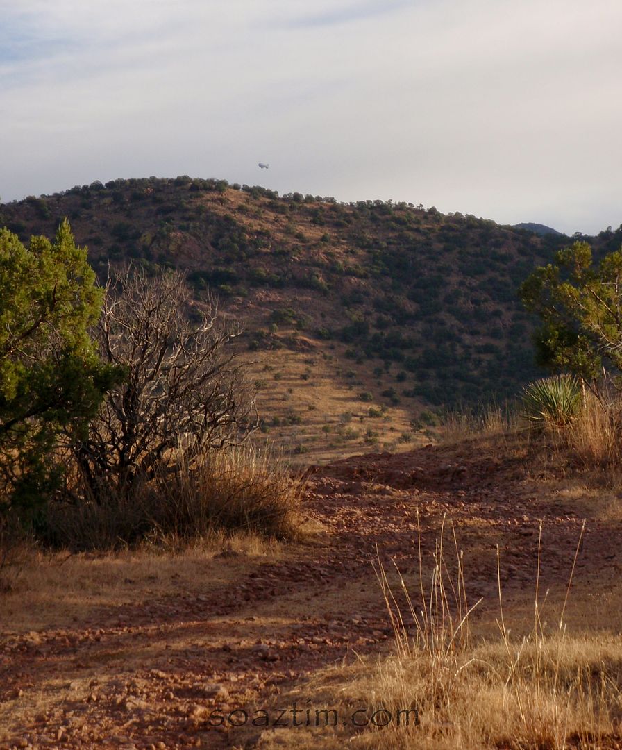
If you look closely there is a little white dot on the horizon. It's a Border Patrol blimp. The eye in the sky!
We hit the road and headed for the old border crossing of Lochiel.
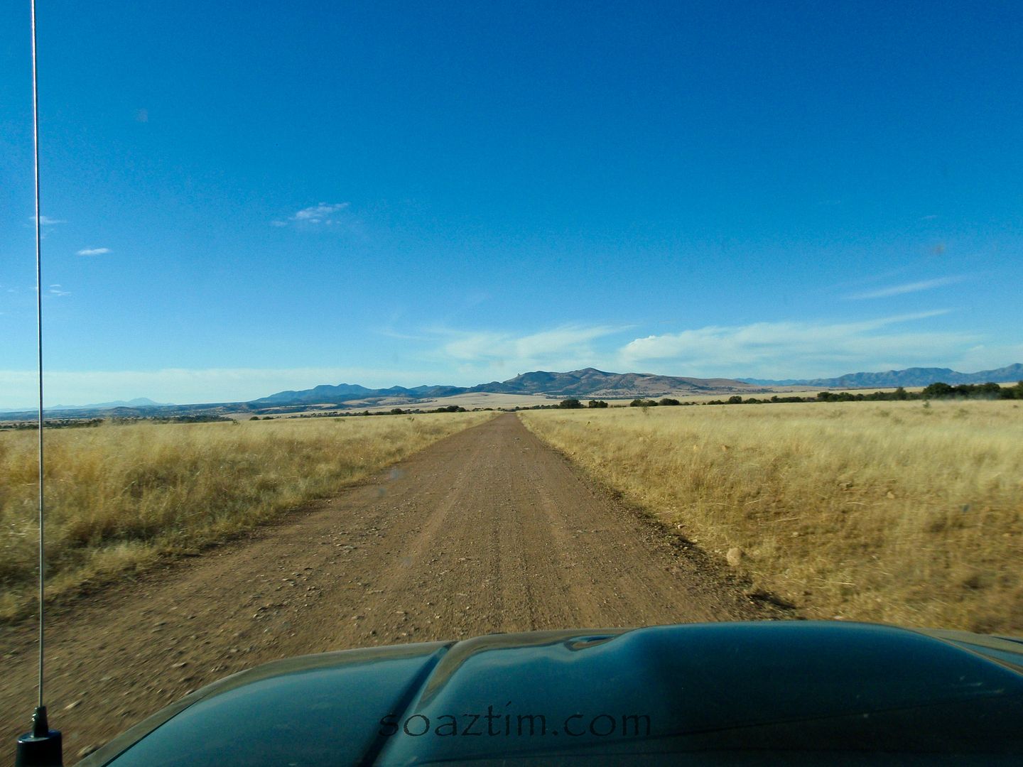
A Land Rover can make any shot look international. Haha, they just always seem to have that effect. When they're running anyway.
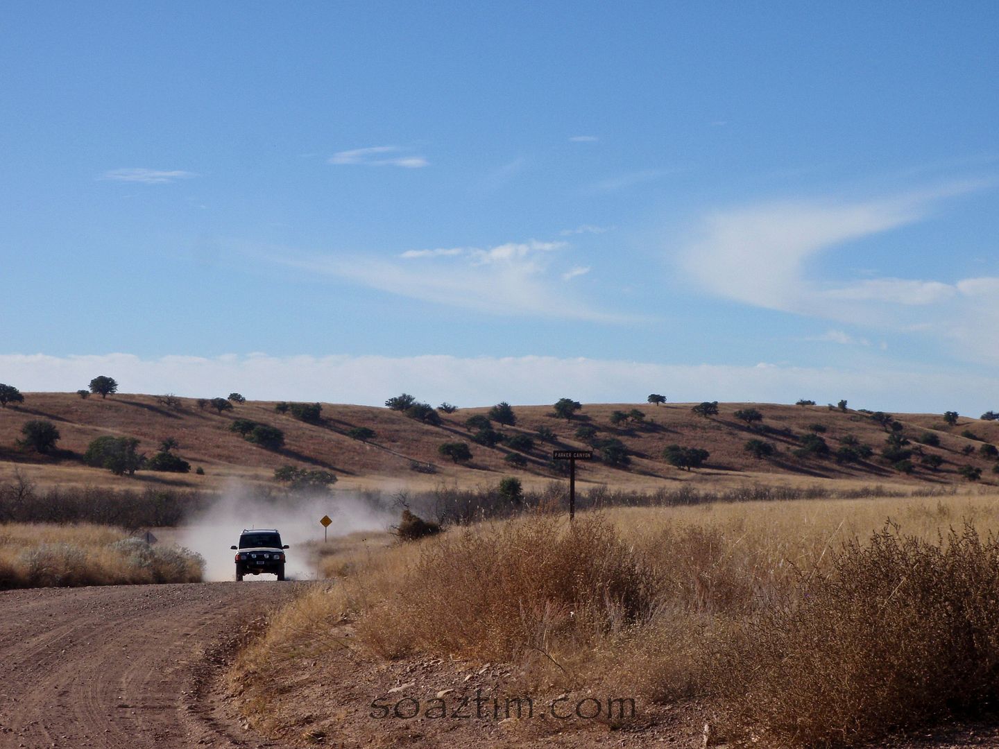
As we came over one rise there was a Border Patrol helicopter hovering. Scared me at first. I didn't hear it or see it as we drove along until the last second. Not sure what he was looking at, but I didn't really want to hang around and get in his way.
We parked on the hill overlooking what is left of Lochiel. The last time I was here we drove right up to the old, now locked, border crossing gate. The sign from many years ago still read that the border would re-open within a few days, but it never happened. The old border crossing office was now a small home for someone.
Up on the hill was a family cemetery that looks like it's been in use for over a hundred years.
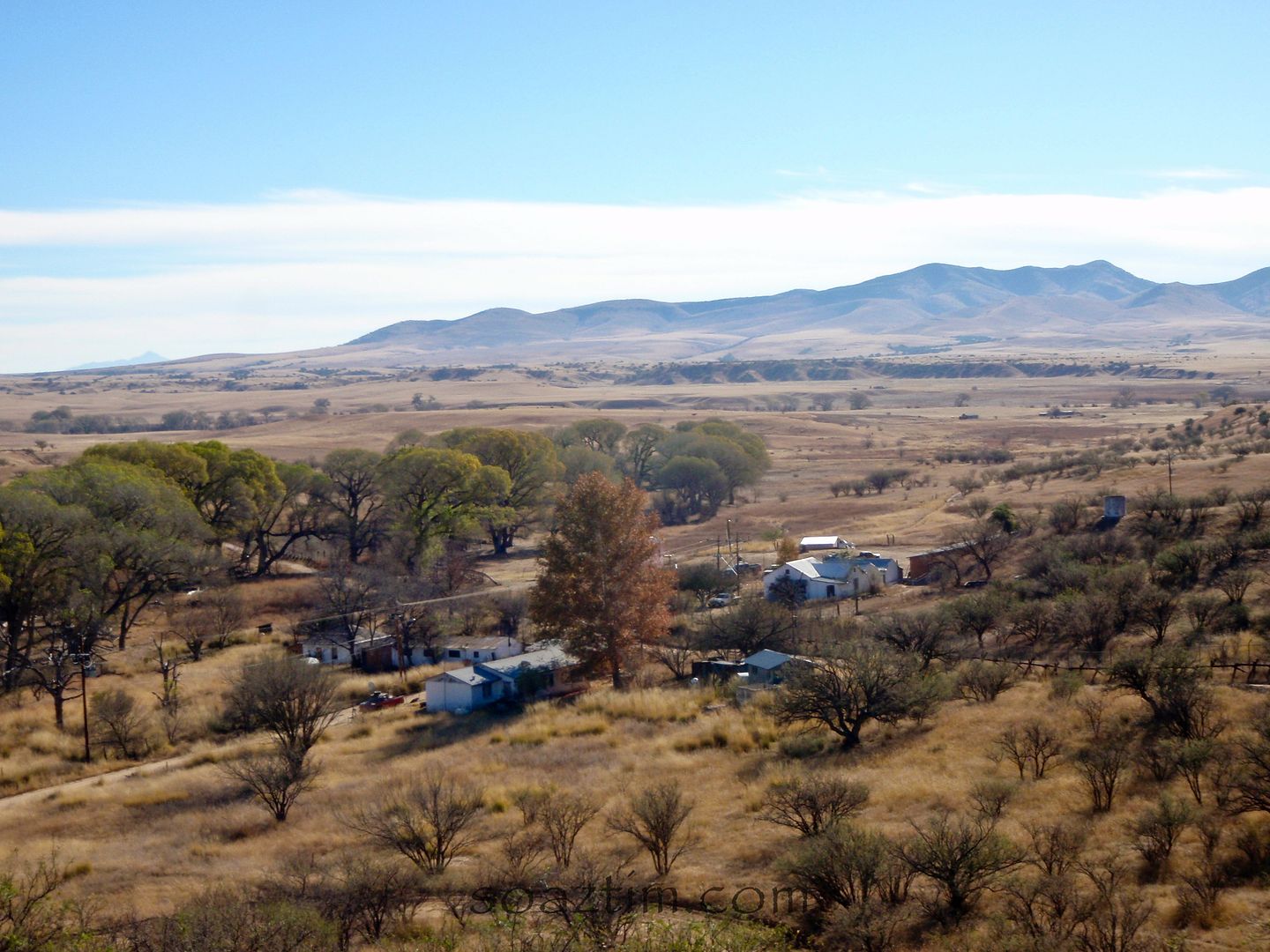
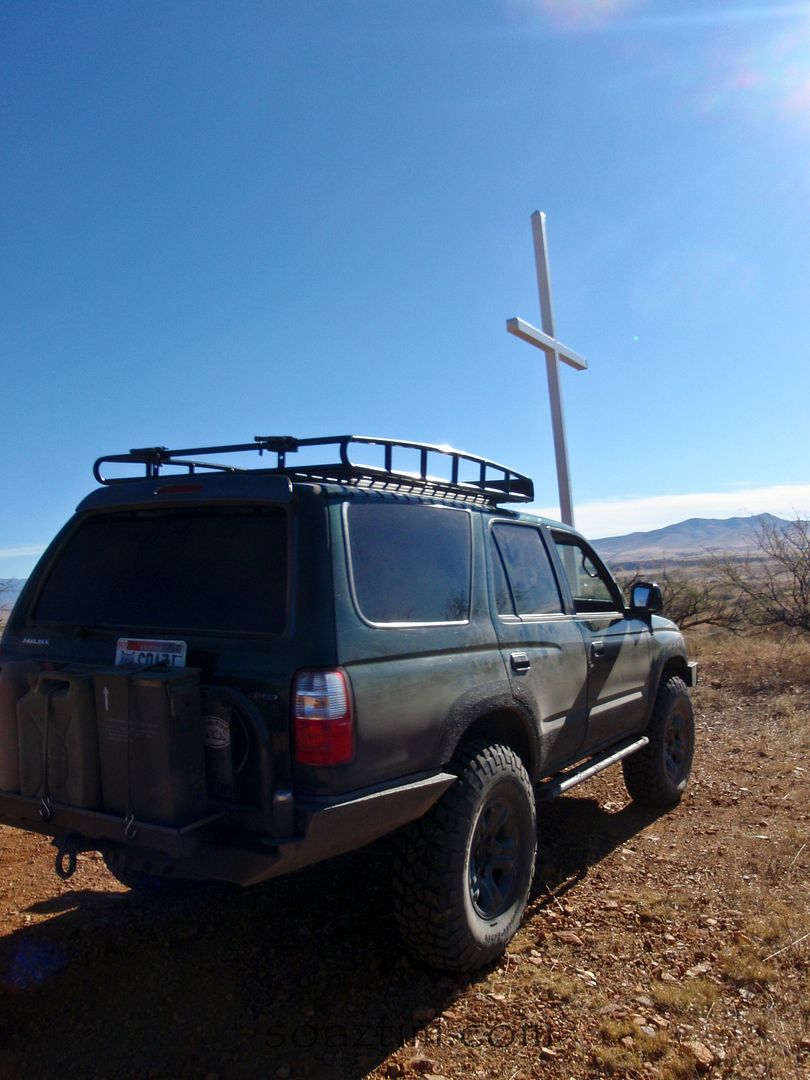
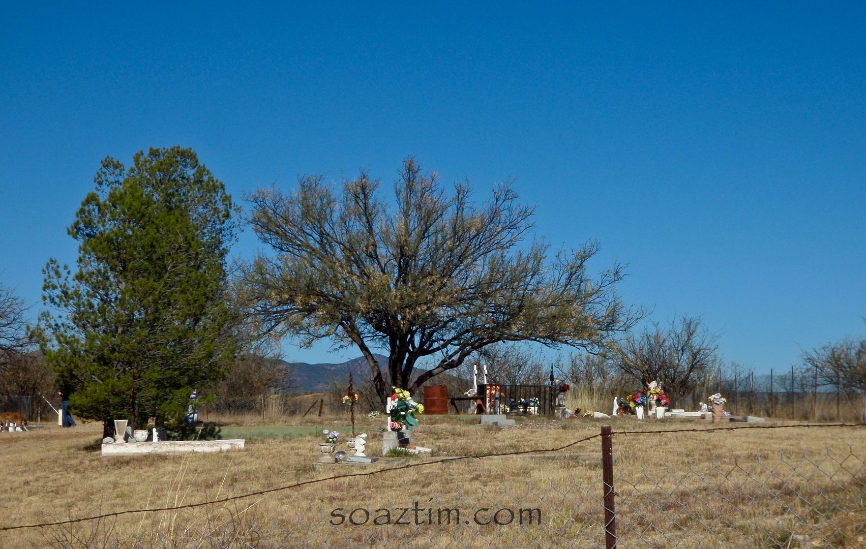
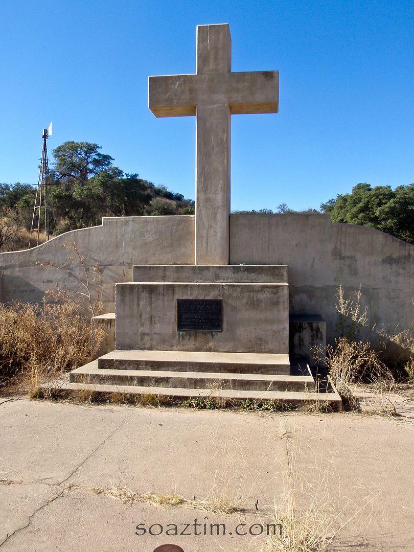
We were getting hungry so we headed north for Patagonia just stopping long enough to get a shot of De Anza's memorial, the Spanish explorer, to where he first set foot on what is today American soil.
The drive was gorgeous as the leaves were changing everywhere. We gluttened ourselves up at a mediocre breakfast spot in Patagonia and enjoyed a slow drive through Nogales north to Phoenix.
